| L3DT image gallery |
|
| Large 3D terrain generator |
L3DTVi2
| ||||||||||||||||||||||||||||||||||||||||||||||||||||||||||||||||||||||||||||||||||||||||||||||||||||||||||||||||||||||||||||||||||||||||||||
| Author: | Stuart Gooding |
| Renderer: | Real-time, based on GLScene |
| File format: | HFF (Native in L3DT) |
| Textures: | Uses textures from L3DT |
| Availability: | Free and open-source (see downloads) |
| 9 Jan 07 : Erosion revisited (v2.5) | ||
 |
 |
 |
| Channelling erosion in the upcoming version 2.5 has been revised, and now provides a better and faster approximation to stream-based erosion. | ||
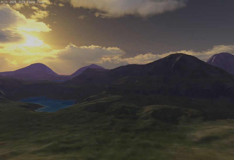
| 27 May 06 : Screenshots from v2.4 beta3 | ||
|
|
|
|
|
|
||
|
|
|
|
|
|
||
| 11 May 06 : More erosion! | ||
 |
 |
 |
| 9 May 06 : Desert climate (coming soon) | ||
 |
 |
 |
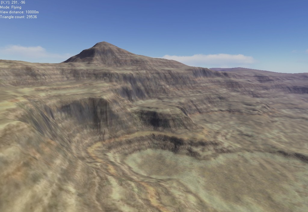
| 16 Jan 06 : L3DT release 2.3c (revision 6) | ||
 |
 |
 |
 |
 |
 |
| 14 Jan 06 : Bump-mapping experiments | ||
 |
 |
Some preliminary work on bump-mapping for high-resolution light-maps. Left image is with bump-mapping, right is without.
|
| 12 Jan 06 : Screenies from L3DT 2.3c Professional | ||
 |
 |
A quick look at the improved lighting and textures produced by L3DT 2.3c Professional. |
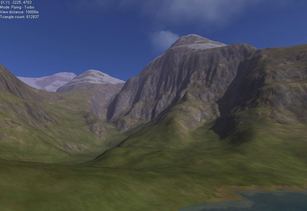
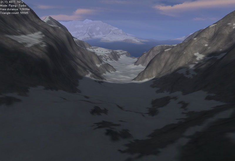
| Aug 23 : An experiment with glaciers | ||
 |
 |
A quick experiment in designing |
| July 15 : Hand-designed map | ||
 |
 |
 |
|
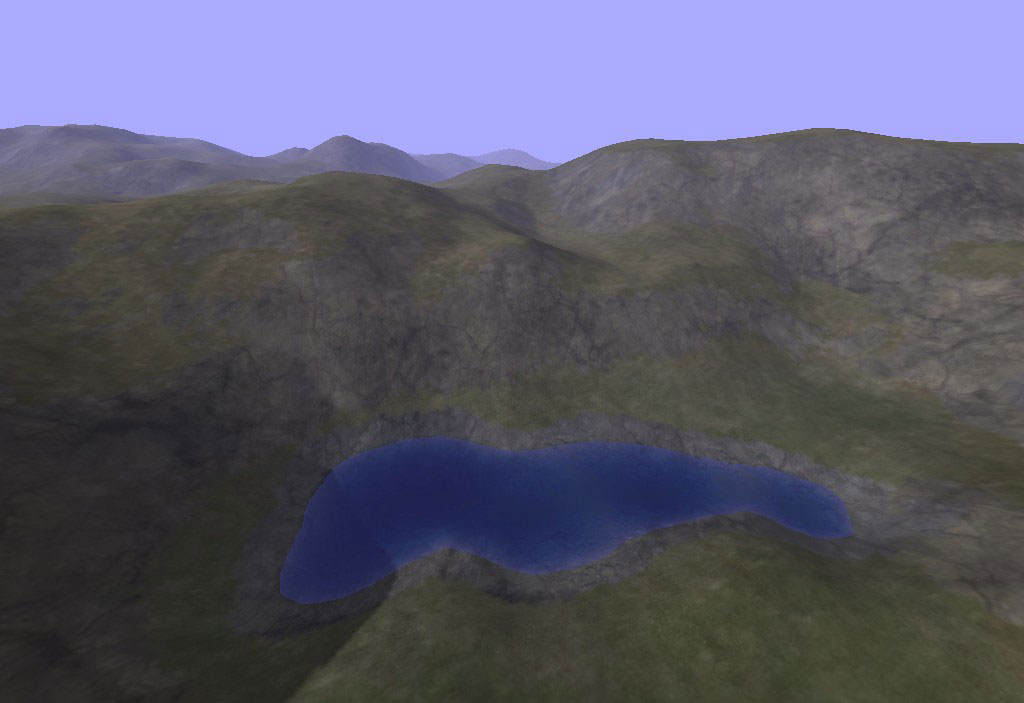
A few screenshots of a map designed entirely by hand using the design map pencil tool, starting from a blank design map. I made a few mountains, and threw some plateaux and cliffs in one corner. Lakes were placed using the manual flooding tool. Total design/build time ~10 mins. |
||
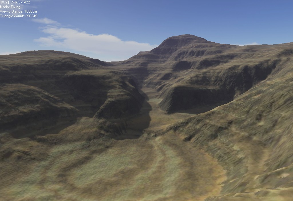
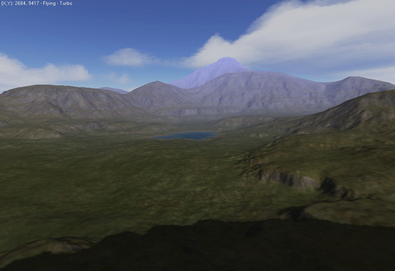
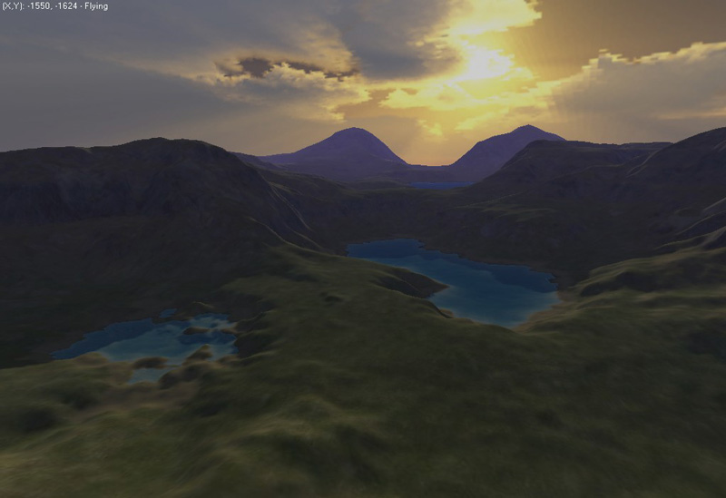
| June 28 : L3DT release 2.3 | ||
 |
This is what happens when you slide the 'erosion' slider |
|
 |
Orthogonal view of random map from L3DT 2.3 |
|
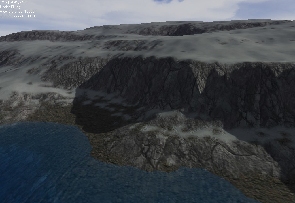
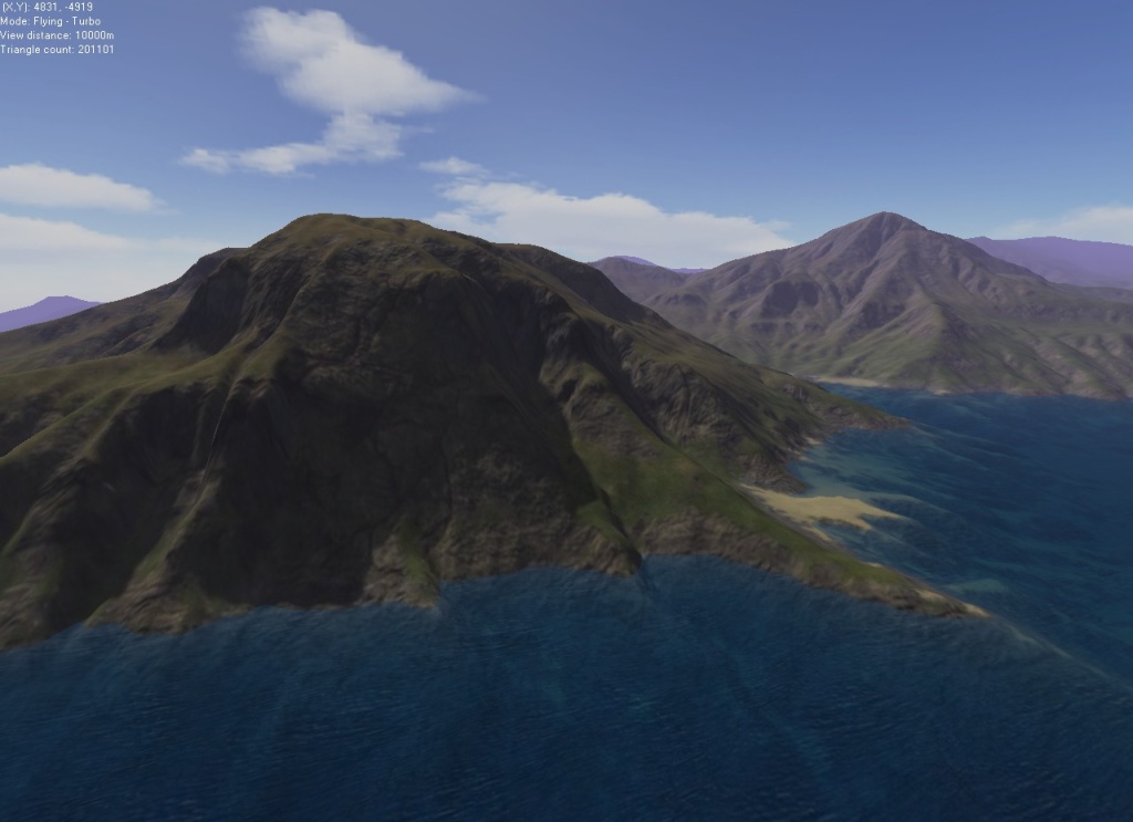
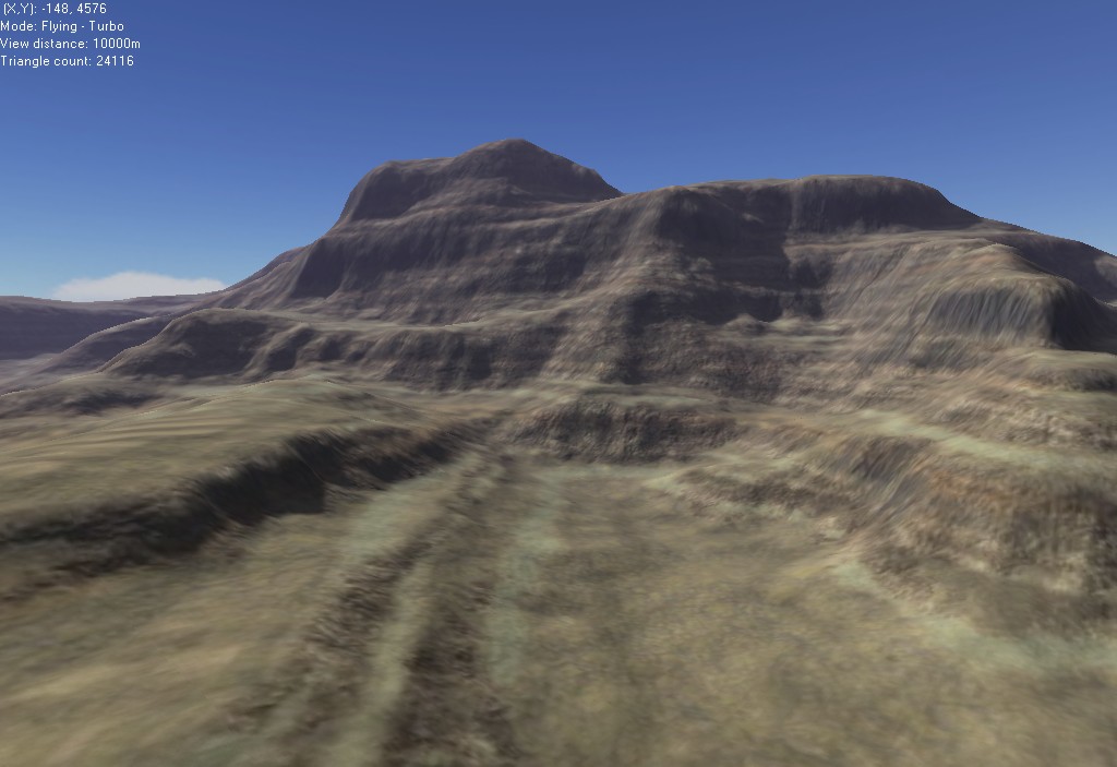
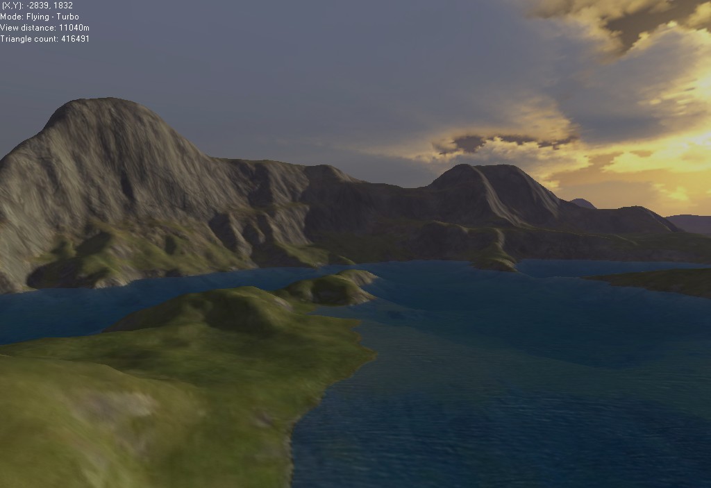
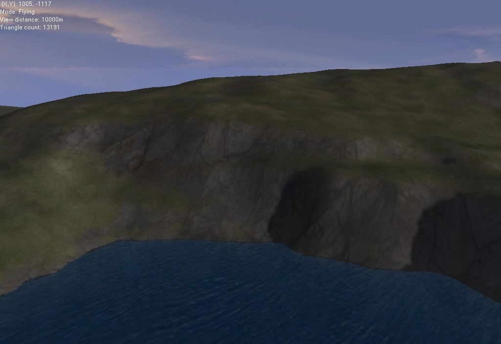
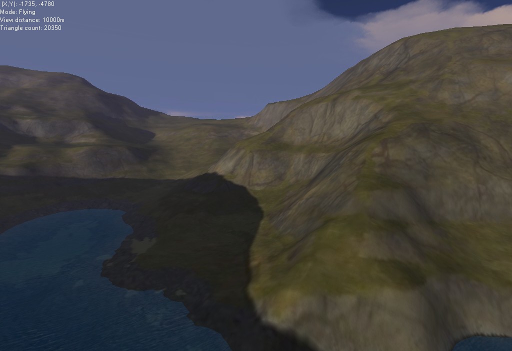
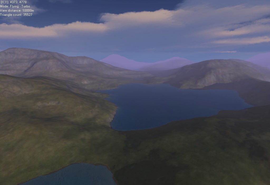
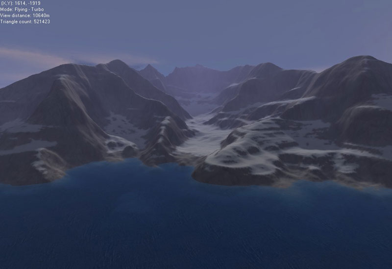
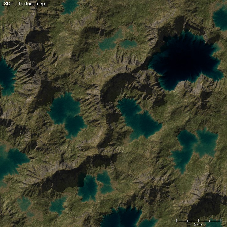
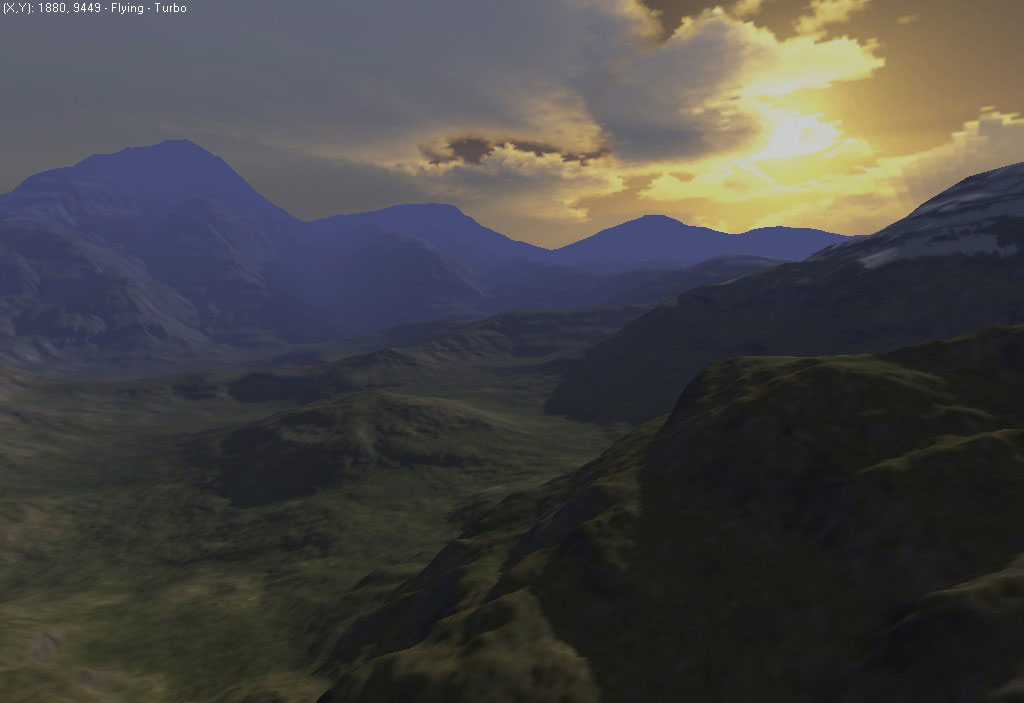
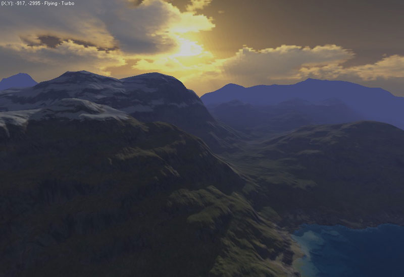
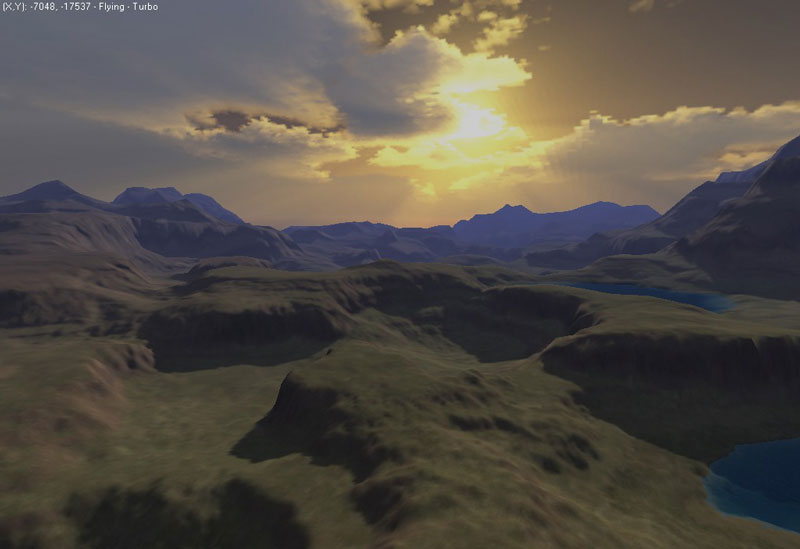
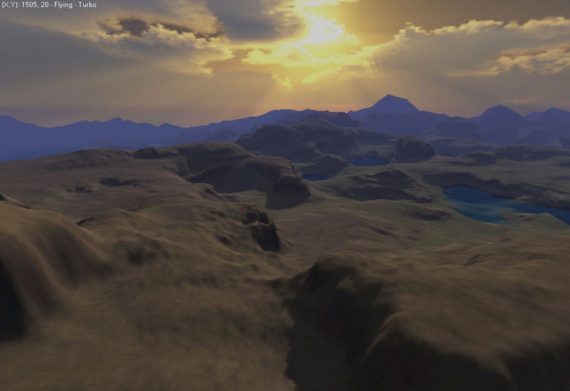
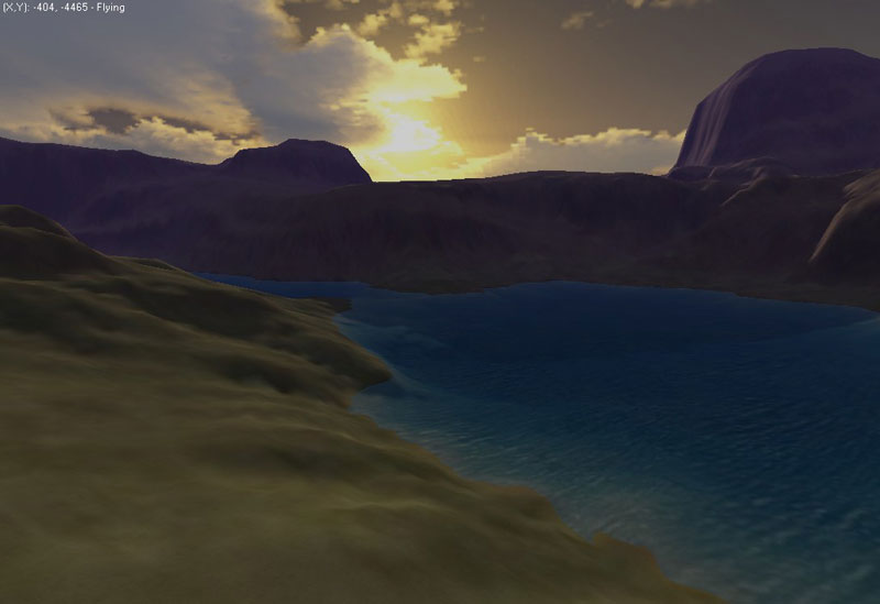
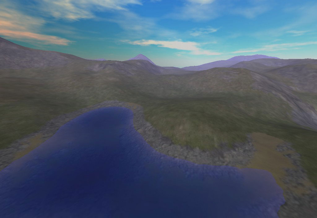
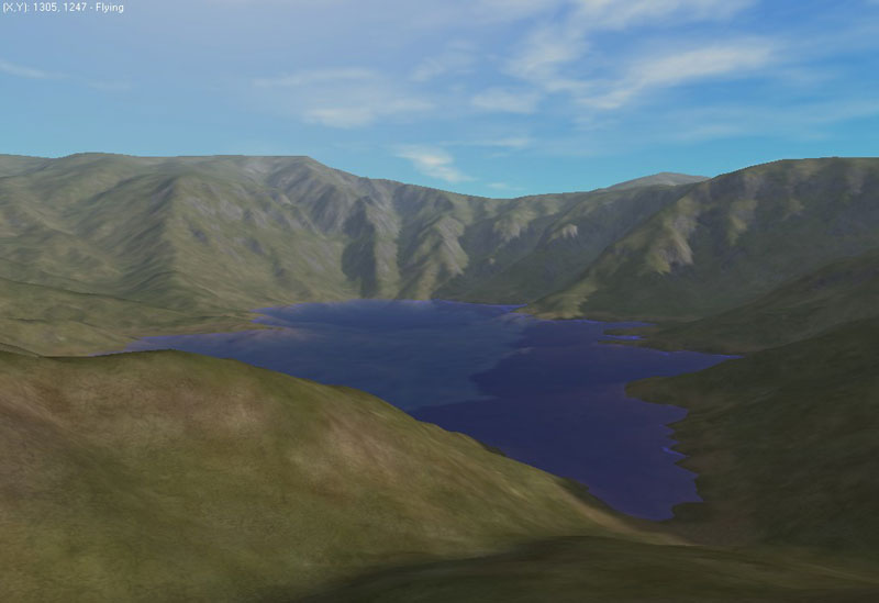
| May 26 : Long view distances | ||
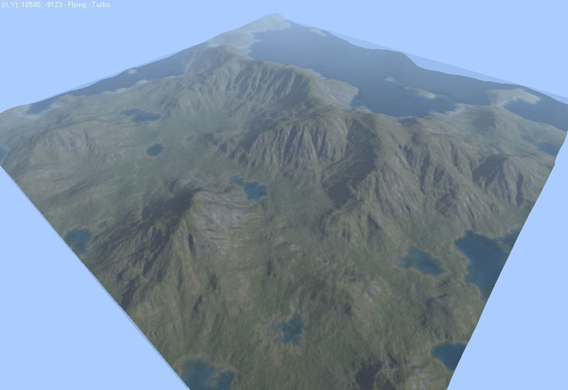
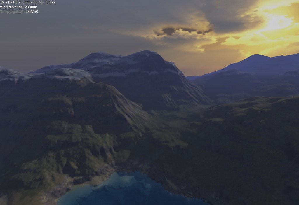 |
8k × 8k heightfield, 16k × 16k texture. |
|
 |
 |
 |
 |
 |
 |
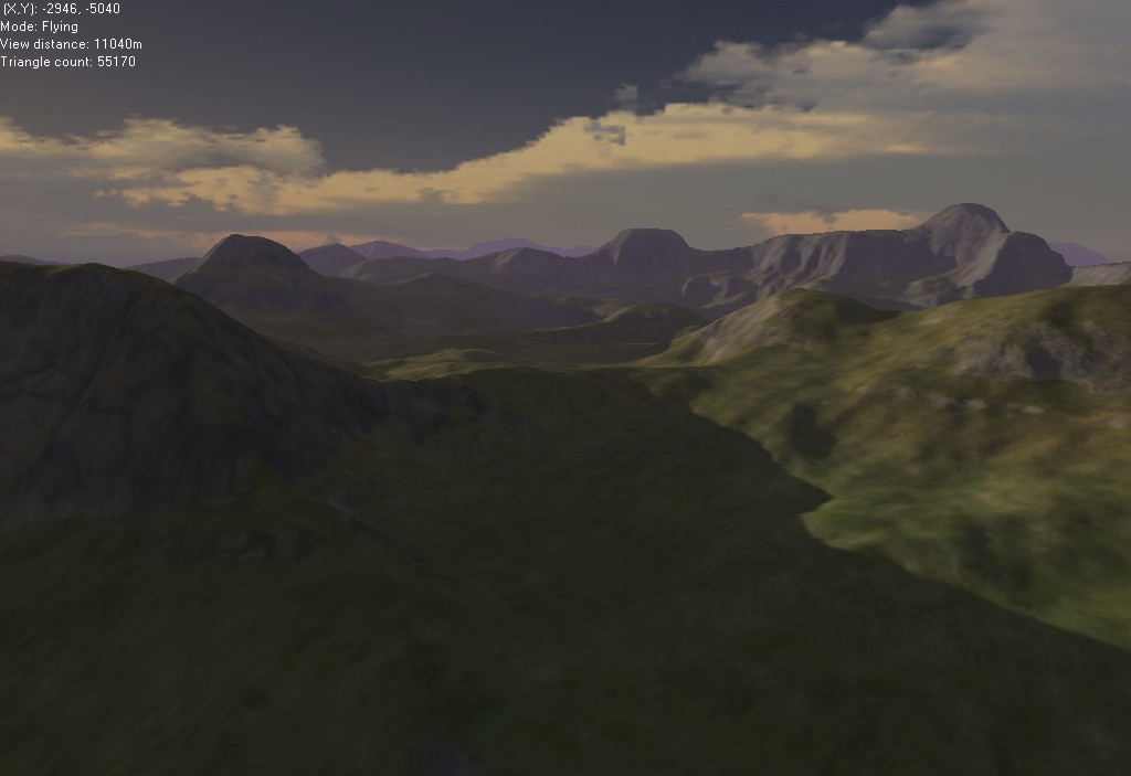
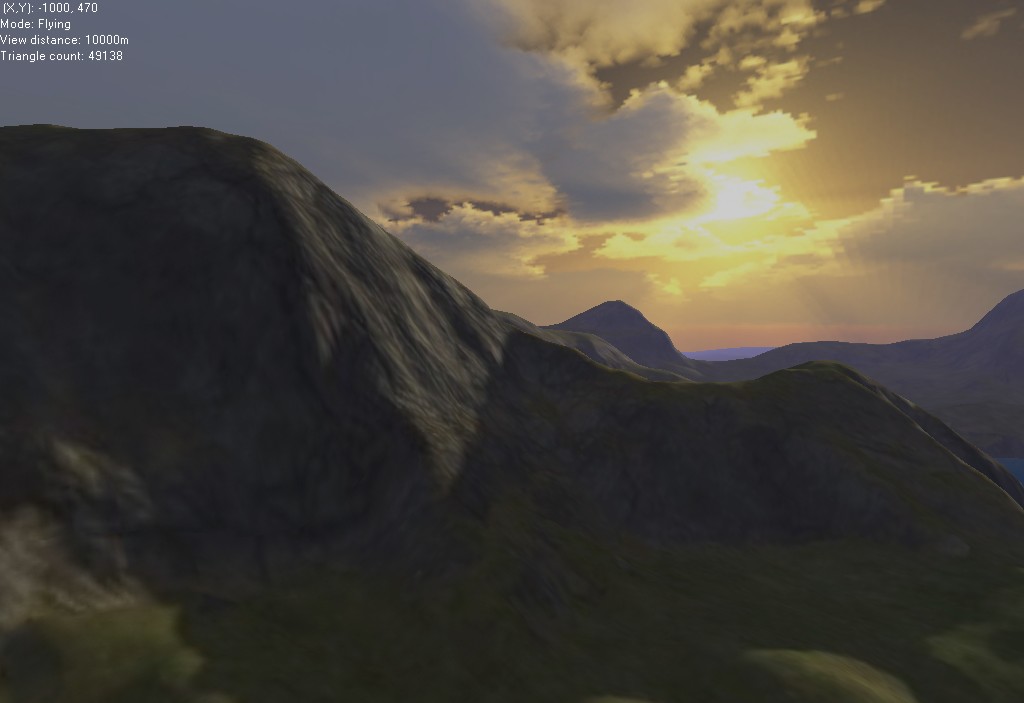
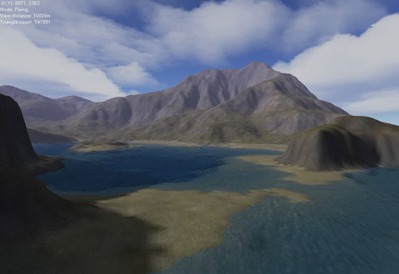
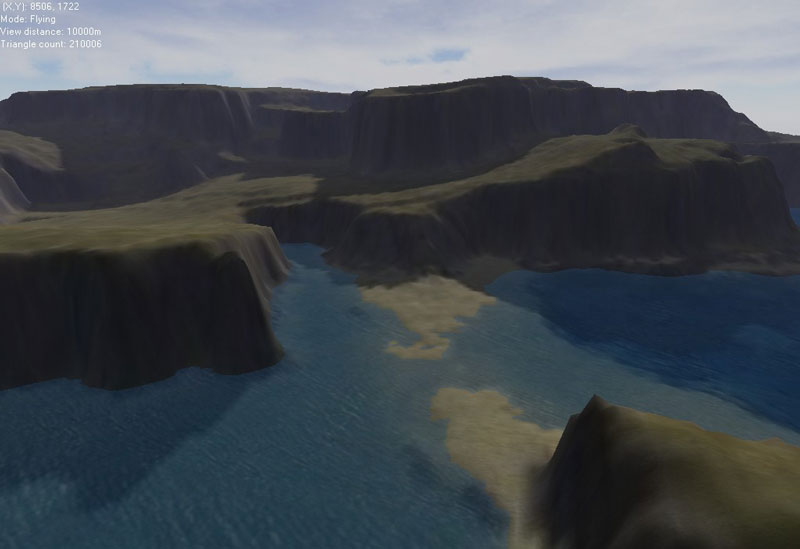
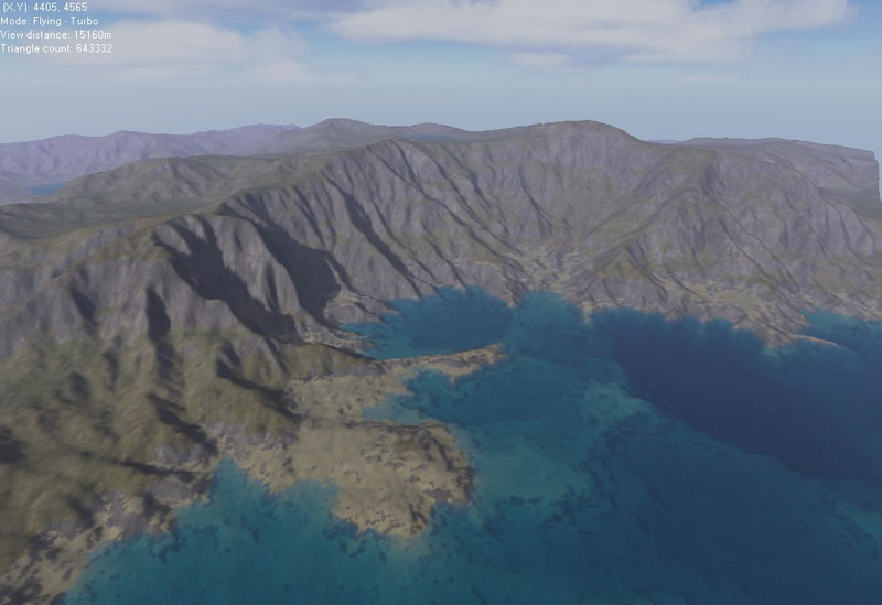
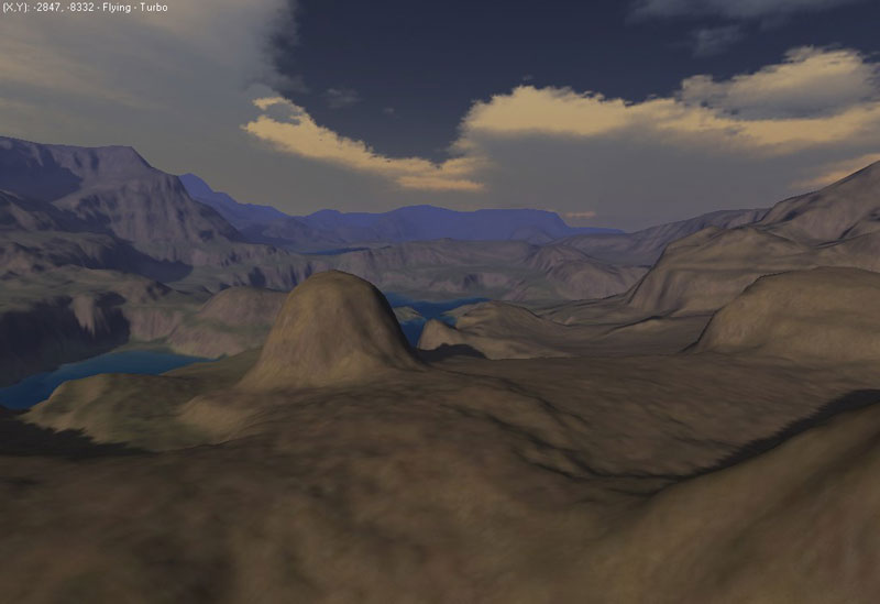
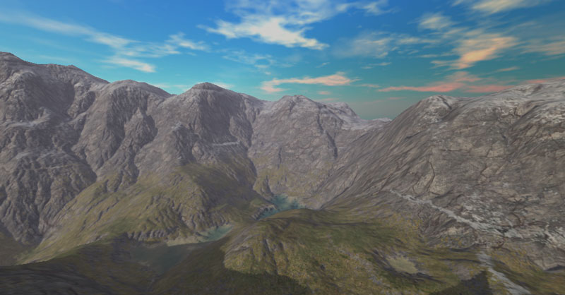
| Demonstrations | ||
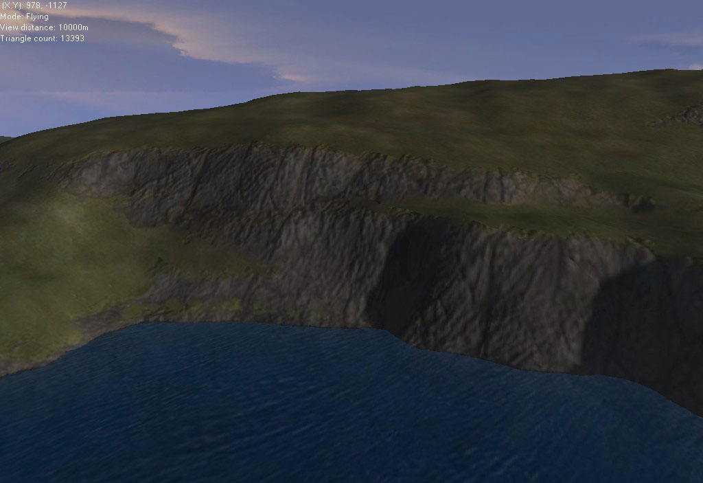
 |
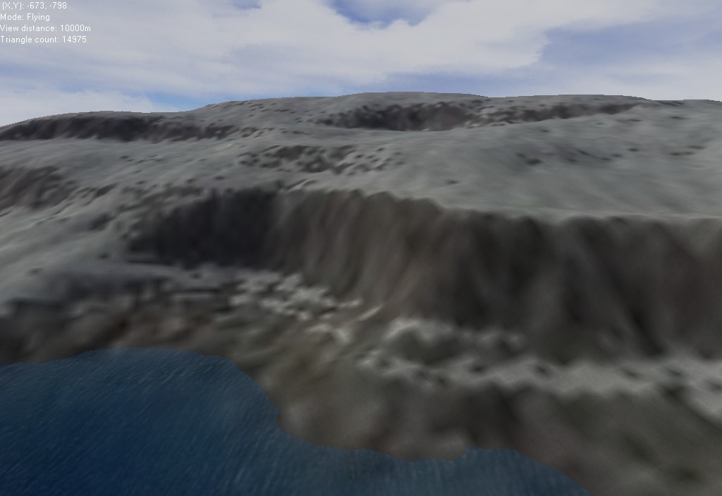
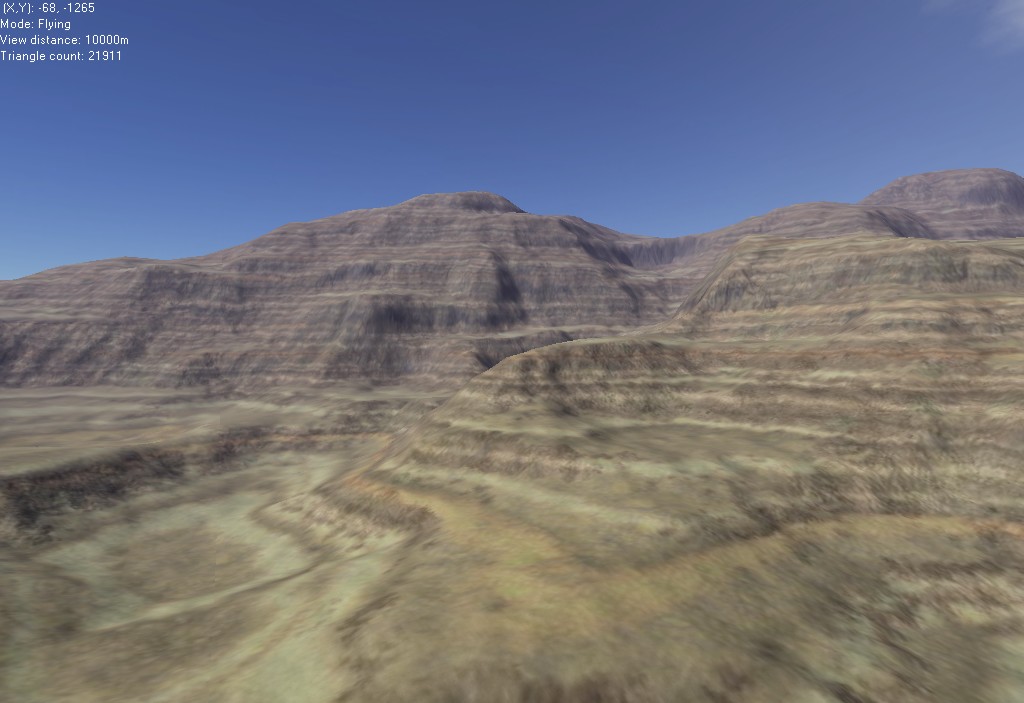
Cliffs and terraces |
|
 |
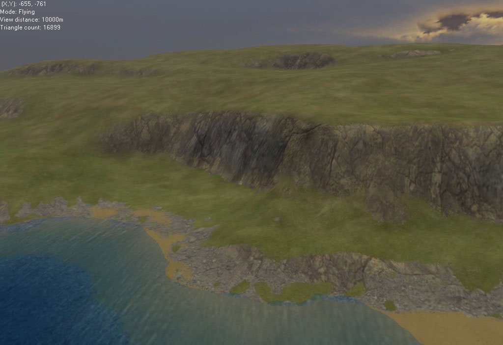
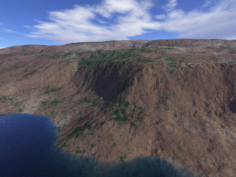
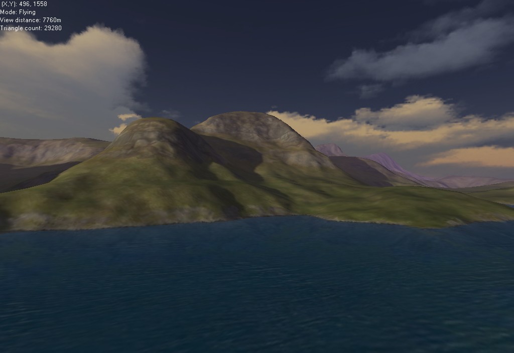
The 'temperate' climate |
|
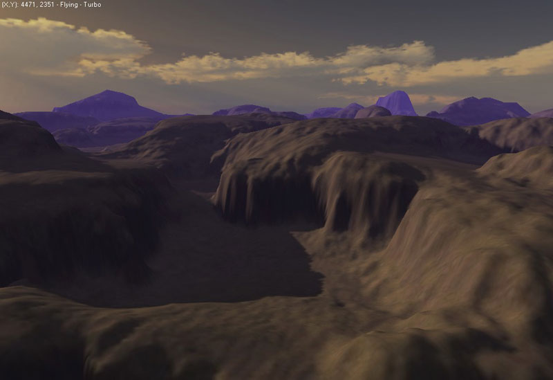 |
The 'arid' climate |
|
|
|
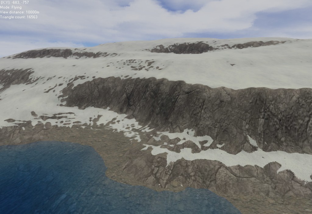
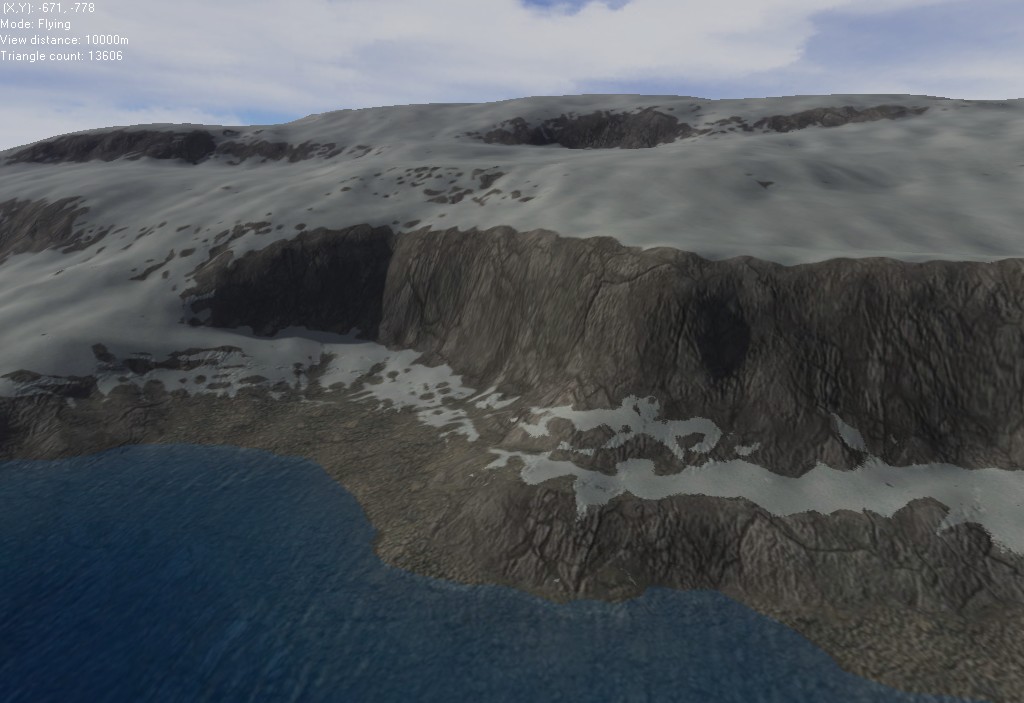
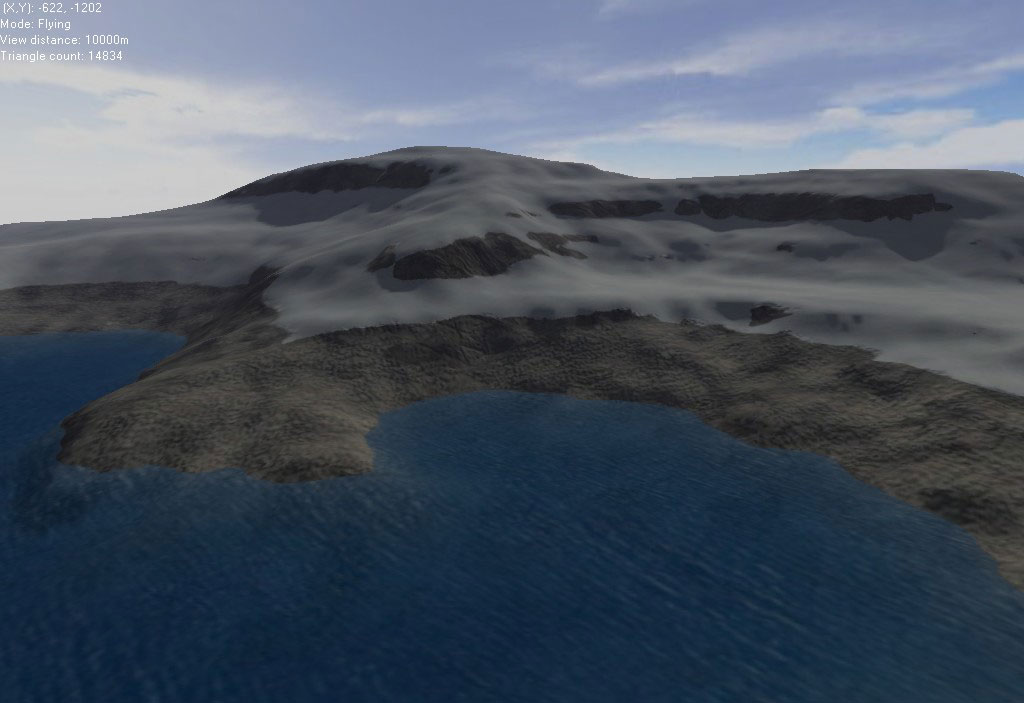
The 'arctic' climate |
|
 |
Aerial shot of a 2k × 2k map |
|
 |
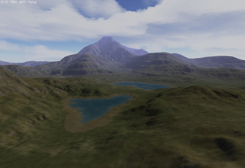
The 'volcano' terrain overlay |
|
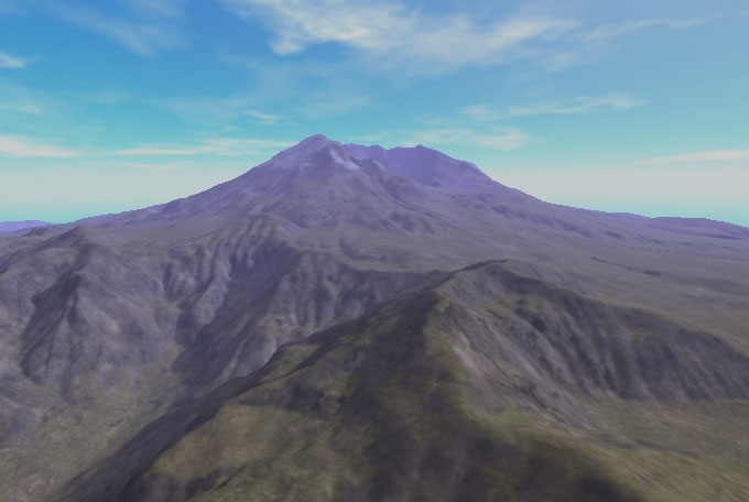 |
Render of Mt. St. Helens, |
|
 |
 |
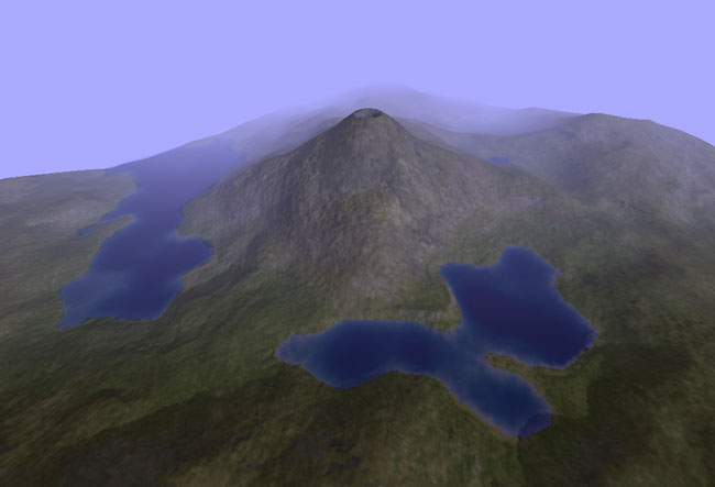
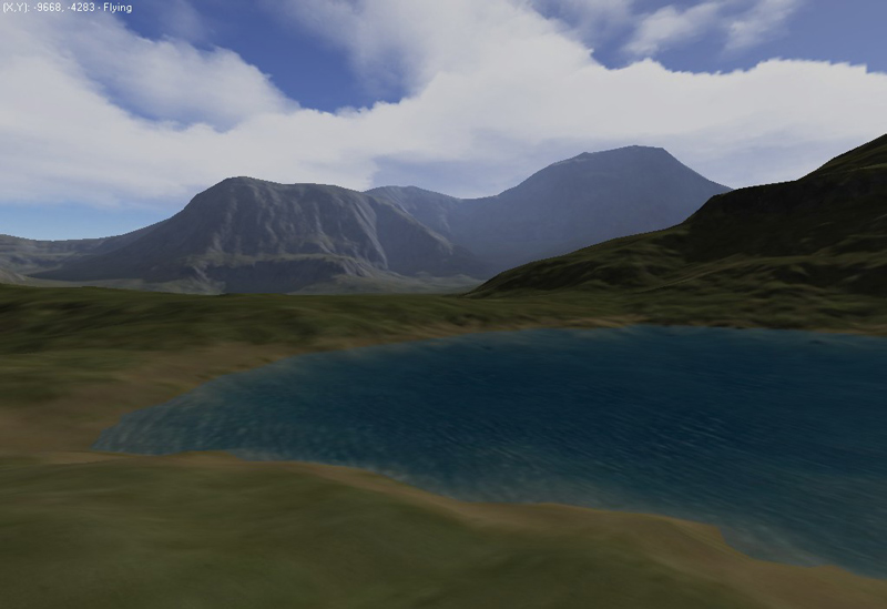
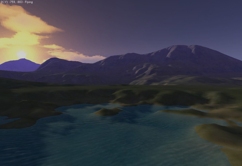
Water rendering |
 |
 |
High-resolution textures |
 |
Nostalgia shot, from L3DT 2.2 |
|
| Miscellaneous others | ||
 |
 |
 |
 |
 |
|