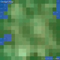
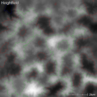
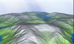
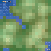
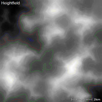
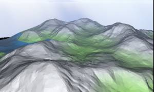
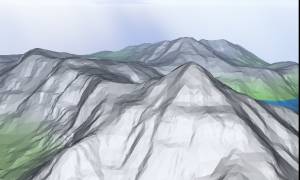
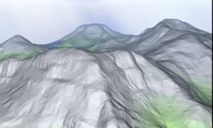
Altitude range (DM parameter)The 'altitude range' slider in the design map parameters wizard determines the steepness of your map. This is demonstrated below, where where I've made terrain with altitude range settings from 0% up to 100%:
The height range of the terrain is also affected by the feature scale setting.
Except where otherwise noted, content on this wiki is licensed under the following license:CC Attribution-Share Alike 3.0 Unported
|

