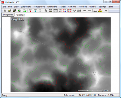
Mouse ruler toolThe mouse ruler tool allows you to measure the distance between two points, as well as the difference in elevation. To activate the mouse ruler tool, select 'Tools→Ruler' in the menu, or click on the toolbar icon shown below:
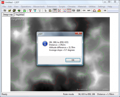
To use the ruler, left-click on the start point and drag the mouse to the end point. When you release the left mouse button, a window will pop-up to display the start/end coordinates, the horizontal distance (in kilometres), the vertical difference (in metres), and the average gradient (in degrees), as shown below: Except where otherwise noted, content on this wiki is licensed under the following license:CC Attribution-Share Alike 3.0 Unported
|


