Rivers plugin
Hi All,
I've uploaded an alpha release of the rivers plugin to here:
http://www.bundysoft.com/wiki/doku.php?id=plugins:calc:atRainMaker
Note that to use this plugin, you will have to update to the latest dev build of L3DT Pro (2nd of Aug).
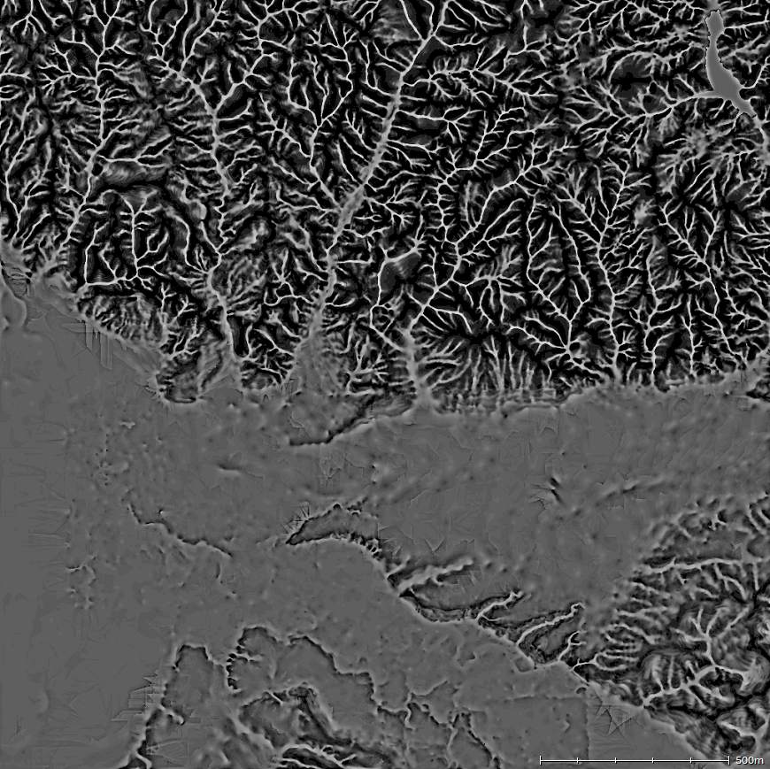
Before anyone gets their hopes up: it's very, very rudimentary. It's slow. It's really hard to get what you want. The progress display is quite busted, and there's no cancel yet. There is no user interface at all, in fact. To do anything, you have to enter scripts (I've provided the ones to use on that page). I'll build a GUI once the algorithm settles down a bit more.
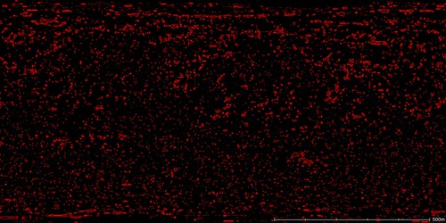
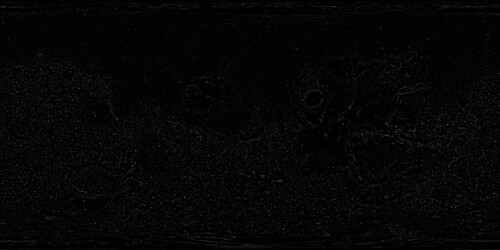
On the up-side, it does support mosaic maps out of the box. It also supports 'undo'. Plus, it will show the flood progression in Sapphire if you know how to ask (it's in the scripts). The scripting also allows interested parties to tweak all the parameters, change filtering algorithms, etc.
Also note that most climates won't work with a map covered with rivers. You'll need to turn the climates' water coefficients down somewhat. Such is the fun of experimental code.
Anyhoo, I'll come back to this in a little while. Atlas calls...
Cheerio,
Aaron.
PS: I just realised that Sapphire needs some more tweaks to display rivers edges properly. I'll include those in the next release.
I've uploaded an alpha release of the rivers plugin to here:
http://www.bundysoft.com/wiki/doku.php?id=plugins:calc:atRainMaker
Note that to use this plugin, you will have to update to the latest dev build of L3DT Pro (2nd of Aug).
Before anyone gets their hopes up: it's very, very rudimentary. It's slow. It's really hard to get what you want. The progress display is quite busted, and there's no cancel yet. There is no user interface at all, in fact. To do anything, you have to enter scripts (I've provided the ones to use on that page). I'll build a GUI once the algorithm settles down a bit more.
On the up-side, it does support mosaic maps out of the box. It also supports 'undo'. Plus, it will show the flood progression in Sapphire if you know how to ask (it's in the scripts). The scripting also allows interested parties to tweak all the parameters, change filtering algorithms, etc.
Also note that most climates won't work with a map covered with rivers. You'll need to turn the climates' water coefficients down somewhat. Such is the fun of experimental code.
Anyhoo, I'll come back to this in a little while. Atlas calls...
Cheerio,
Aaron.
PS: I just realised that Sapphire needs some more tweaks to display rivers edges properly. I'll include those in the next release.