Heightmap is exporting incorrectly.
Hello,
I am attempting to export a tiled (mosaic, 16384x16384) heightmap, along with a texture, using L3DT. The map is a fairly normal generated map, with water, mountains, etc.
The problem is, it is exporting almost completely flat!
This is also reflected inside the heightmap file itself. If you look at this:

You will notice that the colours are very uniform, even though that heightmap is supposed to have both water and mountains in the same image.
The previous HeightMap I used (Note: Uses the exact same code) far more reflected it's supposed height:
And, if you look at it's image, it has got a lot more variation:

I (to my knowledge) exported both heightmaps by going "File -> Export -> Export layer as bitmap files", before exporting the tiles as 512x512. I am unable to "export as overlapped tiles" because it cannot export exactly to the power of two.
The textures are applied correctly, but just for note, they are exported by exporting the optimized mesh and then using the texture that is exported with it.
How do I fix this issue so that the terrain is not almost completely flat?
Thank you
Joe
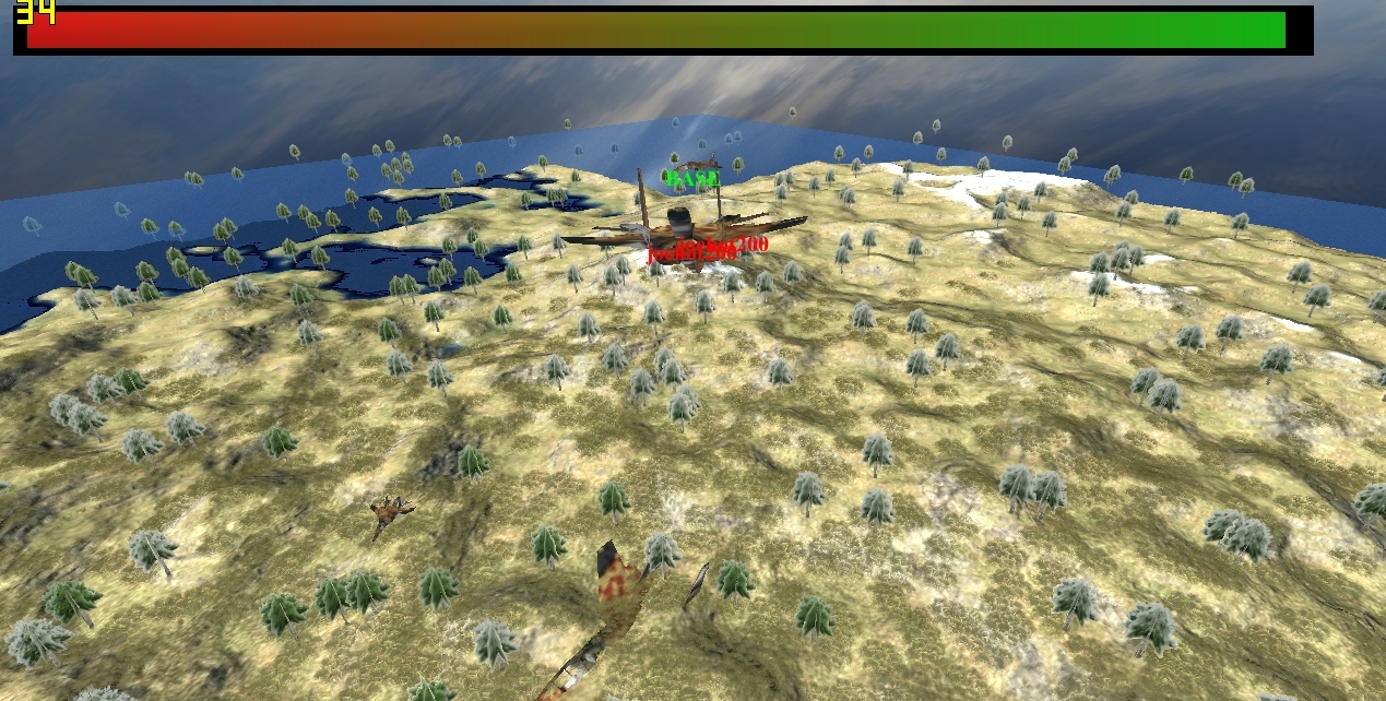
I am attempting to export a tiled (mosaic, 16384x16384) heightmap, along with a texture, using L3DT. The map is a fairly normal generated map, with water, mountains, etc.
The problem is, it is exporting almost completely flat!
This is also reflected inside the heightmap file itself. If you look at this:
You will notice that the colours are very uniform, even though that heightmap is supposed to have both water and mountains in the same image.
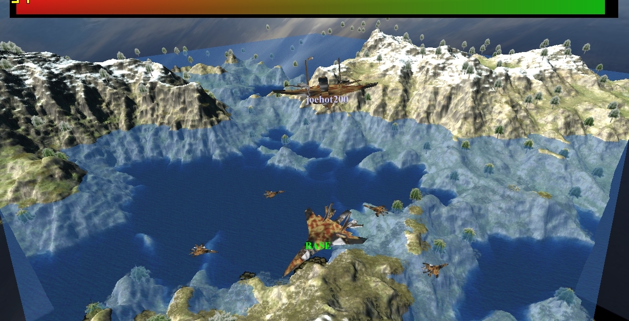
The previous HeightMap I used (Note: Uses the exact same code) far more reflected it's supposed height:
And, if you look at it's image, it has got a lot more variation:
I (to my knowledge) exported both heightmaps by going "File -> Export -> Export layer as bitmap files", before exporting the tiles as 512x512. I am unable to "export as overlapped tiles" because it cannot export exactly to the power of two.
The textures are applied correctly, but just for note, they are exported by exporting the optimized mesh and then using the texture that is exported with it.
How do I fix this issue so that the terrain is not almost completely flat?
Thank you
Joe