Light Map Shading
I'm working on my "Urbania" map and generated a light map and got a strange effect:
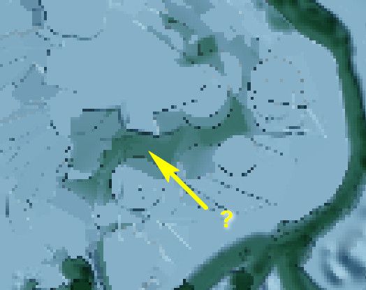
To me the darkened area looks like it's below sea level, when all of it is about 4-6m, and the elevation on either side is between 16-20m. Is this just a shadowing to show a canyon type situation?

To me the darkened area looks like it's below sea level, when all of it is about 4-6m, and the elevation on either side is between 16-20m. Is this just a shadowing to show a canyon type situation?