ZeoGraph requests
Hi, I've been using ZeoGraph a bit tonight to create a map that I can use to model vegetation density. I've got a few suggestions for things that would make life easier.
* Can you add 'specular map' support to the GetProjectMap node. I'd like to use it as an array of scalar values - in this case to raise the vegetation density slightly on the 'sunny' side of a terrain.
* A Gradient node would be great for reducing density on steep slopes.
* A 'clamp' node would be nice, it would let me remove min/max pairs I've added to do the same job.
* I've used a multiply (-1) and add (+1) pair to create an inverse function for data I've put into the (0,1) range. A node to create an 'inverse' intellegently using the maximum of the given map would be much clearer.
* A 'constant scalar' node would help to make self-documenting graphs. Sometimes you might want to make a key value quite prominent and this would help. e.g. naming the node "Tree Line Altitude".
* In a similar vein, having a 'random scalar' node would be great for Perlin maps to use a new seed each time. Inputs would be min and max values, and it'd have a dual purpose int/float output pin (if poss).
* It'd be nice to be able to access the ZeoScript function browser from the ZeoGraph window too, as a convenience when writing custom nodes.
Finally, I just wanted to say thanks for ZeoGraph. At first I was wondering if I'd ever really use it for anything practical - but I'm really glad you added it now! It's been fun working out how to make the result I want.
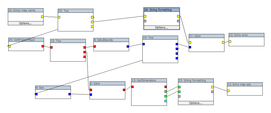
Here's a link to the graph I made in case some of my request need a bit of context: http://pastebin.com/m5184a3a7
Oh and I think I found a bug, if you attach the output of a 'Get water map' to a SetRange nodes. It gives the error (in 2.8.0.6): "calc_HF_ClampMap error:
- GetPixel returned false". The expected behaviour was to return a map of water altitudes for use like a height field.
* Can you add 'specular map' support to the GetProjectMap node. I'd like to use it as an array of scalar values - in this case to raise the vegetation density slightly on the 'sunny' side of a terrain.
* A Gradient node would be great for reducing density on steep slopes.
* A 'clamp' node would be nice, it would let me remove min/max pairs I've added to do the same job.
* I've used a multiply (-1) and add (+1) pair to create an inverse function for data I've put into the (0,1) range. A node to create an 'inverse' intellegently using the maximum of the given map would be much clearer.
* A 'constant scalar' node would help to make self-documenting graphs. Sometimes you might want to make a key value quite prominent and this would help. e.g. naming the node "Tree Line Altitude".
* In a similar vein, having a 'random scalar' node would be great for Perlin maps to use a new seed each time. Inputs would be min and max values, and it'd have a dual purpose int/float output pin (if poss).
* It'd be nice to be able to access the ZeoScript function browser from the ZeoGraph window too, as a convenience when writing custom nodes.
Finally, I just wanted to say thanks for ZeoGraph. At first I was wondering if I'd ever really use it for anything practical - but I'm really glad you added it now! It's been fun working out how to make the result I want.
Here's a link to the graph I made in case some of my request need a bit of context: http://pastebin.com/m5184a3a7
Oh and I think I found a bug, if you attach the output of a 'Get water map' to a SetRange nodes. It gives the error (in 2.8.0.6): "calc_HF_ClampMap error:
- GetPixel returned false". The expected behaviour was to return a map of water altitudes for use like a height field.