The default view (shown above) is derived from OpenStreetMap, but if the selection's in the USA you can swap to USGS Shaded Relief or USGS Topographical imagery. The output is in 16bit PNG regardless. Of course that means it suffers from all the issues that bitmap imagery does, but it's still a source for maps. Here's a heightfield layer that was imported (from the Island of Rottnest Island)with height range of 0 to 20:

...and here it is in 3D editing:

And here's the real Island (from th wikipedia):
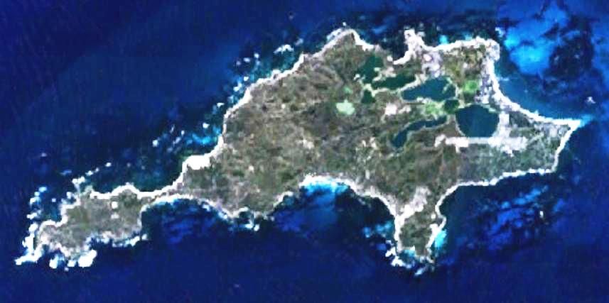
Created by the uploader. Any IP involved in the creation of this image is released into the public domain. - It was made by the uploader using NASA World Wind using Landsat 7 data., Public Domain,