atMergeMap
Plugin information
| Author | Aaron |
|---|---|
| Description | atMergeMap allows you to stitch a second heightmap onto your existing heightmap. |
| Menu option | 'File→Import→Merge heightmap' (for L3DT v2.7 build 17 or later), or 'Extensions→atMergeMap→Merge heightmap' |
| Download link | Included with L3DT. |
| DLL version | v2.9.5.0 |
| Release date | 31st of Jan 2011. |
What does it do?
atMergeMap allows you to stitch a second heightmap onto your existing heightmap.
Using atMergeMap
To merge a second heightmap with your current heightmap, select the 'File→Import→Merge heightmap' menu option 1). This will open the merge heightmaps window, shown below:

The options are:
File name
The filename of the second imported you wish to merge with the current (original) heightmap. Supported file formats currently include HFZ, HF2, HFF, TER, BT, BMP and PNG, plus MMF for mosaics.
Mask image
The 'mask image' is the filename of an optional overlay mask image that can be used to control the blending between the original heightfield and the imported heightfield. The mask image must be a greyscale image in the PBG or BMP formats.
The greyscale values in the mask image are interpreted as follows:
| Mask pixel value | What it means |
|---|---|
| 255 (white) | The output heightfield pixel is the same as the imported heightfield pixel value. |
| 127 (grey) | The output heightfield pixel is a 50/50 blend of the original and imported heightfield pixel values. |
| 0 (black) | The output heightfield pixel is the same as the original heightfield pixel halue. |
The effect is shown below using a simple mask image that blends from black (100% original heightfield) at the left to white (100% imported heightfield) at the right:
| Original heightfield | Imported heightfield | Mask image | Output heightfield |
|---|---|---|---|
 | 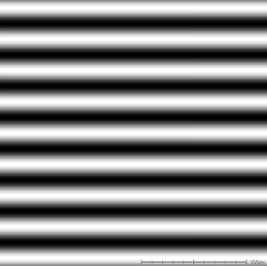 |  | 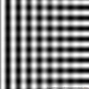 |
Blend mode
The merge mode drop-list allows you to select the type of blending operation used to combine the imported heightmap with the original heightmap. The supported modes are:
| Mode | Description |
|---|---|
| Replace | If there is an overlap, pixels from the existing map will be replaced by the pixels from the imported map. |
| Add | The output height values will be the sum of the existing map with the imported map. |
| Subtract | The output height values will be the height of the existing map minus the height of the imported map. |
| Maximum | If there is an overlap, the output pixels will be whichever is larger between the the existing map and the imported map. |
| Minimum | If there is an overlap, the output pixels will be whichever is smaller between the the existing map and the imported map. |
| Multiply | The output height values will be the height of the existing map multiplied by the height of the imported map. |
Stretch to fit
If the 'stretch to fit' option is checked, the imported heightfield will be automatically resized to fit exactly over the existing heightfield. If 'stretch to fit' is enabled, the X and Y offset controls are automatically disabled, since to stretch the imported heightfield over the existing heightfield the offset must be zero.
Resize map
If the 'resize map' option is enabled, you may resize the imported heightmap to cover any arbitrary area of the output heightfield. This option enables the 'width' and 'height' controls, in which you may enter the desired size of the input heightfield, measured in pixels.
Position offsets
X/Y offsets
The x and y offsets specify the desired positioning of the imported map relative to the original heightfield.
The x offset is defined as the distance in the east (right) direction, measured in pixels, that the imported map is offset from the original map. Nagative values imply that the imported map is to the west (left) of the original heightfield.
The y offset is defined as the distance in the north (up screen) direction, measured in pixels, that the imported map is offset from the original map. Nagative values imply that the imported map is to the south (below) of the original heightfield.
All offsets are measured between the southwest (lower-left) corners of each map, as shown below:
 |
Z offset
The Z offset allows you to shift the altitude of the imported hightmap relative to the original heightmap. This offset is measured in metres.
To-do list
- Drag-n-drop graphical display of positioning.
- Run calc in project worker thread.
- Add a graphical progress display.
Changes
2011/01/31 — Released v2.9.5.0, with blending modes, mask images, and stretch modes.
2009/06/28 — Released v2.7.4.0, with menu option duplicated at 'File→Import→Merge heightmaps', and support for more file formats in file picker window.
2009/01/08 — Released v2.7.0.0, with L3DT release 2.7 beta 1.03. Fixed flag settings for mosaic heightmaps.
2008/12/03 — Released v2.6.1.1, with L3DT release 2.7 beta 1. Added support for 'undo'.
2008/06/09 — Released v2.5.4.0, with L3DT release 2.5.4.3.
2008/02/29 — Released.