Feature scale (DM parameter)
The 'scale of features' slider in the design map parameters wizard determines the height and width of features in the design map, such as valleys and hills. With a large feature scale setting, your map will feature taller and wider mountain ranges, whereas with a smaller feature scale setting, you map will consist of smaller hills.
This is demonstrated below, where where I've made terrain with feature scale settings from 0% up to 100%:
| Feature scale | Design map | Heightfield | 3D render |
|---|---|---|---|
| 0% (left, tiny) | 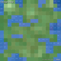 |  | 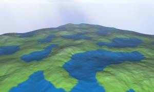 |
| 25% |  |  | 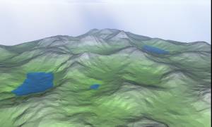 |
| 50% (centre, default) | 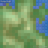 |  | 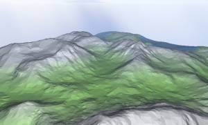 |
| 75% | 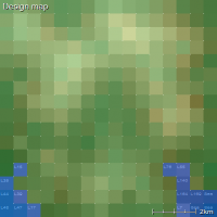 | 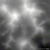 | 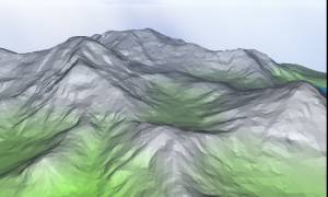 |
| 100% (right, vast) | 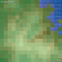 | 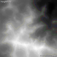 | 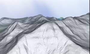 |
If you would like to increase or decrease only the height of the terrain, without changing the width of the features, use the altitude range setting instead.