A call to Terragen artists
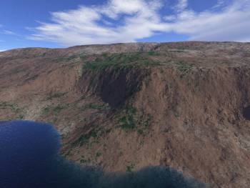
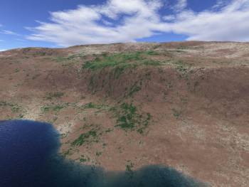
I was wondering if anyone skilled in the art of Terragen was willing to take a crack at rendering roughly the same spot as in these images from L3DTVi2? I'd like to see how L3DT's dodgy tricks stack up against a proper ray-tracing photorealistic renderer, but alas the mysteries of surface maps are somewhat beyond me. Using the default 'desert and grass' I came up with these:
If you want to try your hand, the heightfield is here:
http://www.bundysoft.com/L3DT/downloads/examples/temp8.ter (129kb)
The water-level is 82.5m, and the camera conditions are approximately:
| X | Y | Z | |
|---|---|---|---|
| Camera | 1880 | 550 | 200 |
| Target | 980 | 900 | 0 |
| Zoom | 1 | ||
If you come up with anything nice, please e-mail me a JPEG or upload it to the users' gallery.
Best of luck,
Aaron.

