I'm not sure how you'd do it, but it would be great to be able to have an image drape when editing the height field for bulldozing roads right where they're supposed to be!
It would be great to have a way to edit the grayscale hight map in a top down view so we could place stuff precisely. Hmmm, in the meantime I suppose we could export the heightmap then edit it in photoshop. The bulldoze brush would function pretty much like the burn brush in PS--that is, it darkens the grayscale, relatively to the existing map--so the roads while being inset some from the original, remains relative, so the road would climb hills or drop down valleys, etc.
| L3DT users' community |
|
| Large 3D terrain generator |
image drape for "bulldozing"
2 posts
• Page 1 of 1
image drape for "bulldozing"
Hi Guy,
At the moment, the way to use an image drape in Sapphire is to do the following:
 I'll add it to my to-do list to make a nice 'image drape' menu option in Sapphire, so as to condense these four steps down to one.
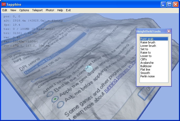
Using the heightfield tools in the 2D view is on the to-do list as well. Cheerio, Aaron.
2 posts
• Page 1 of 1
Who is onlineUsers browsing this forum: No registered users and 42 guests |
