|
Table of Contents
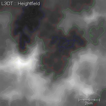
The heightfieldThe heightfield is simply a map of altitudes, which is usually rendered as a greyscale image where black is the minimum altitude and white is the maximum altitude. Example mapFurther reading
Except where otherwise noted, content on this wiki is licensed under the following license:CC Attribution-Share Alike 3.0 Unported
|

