L3DT development blog
Large 3D terrain generator
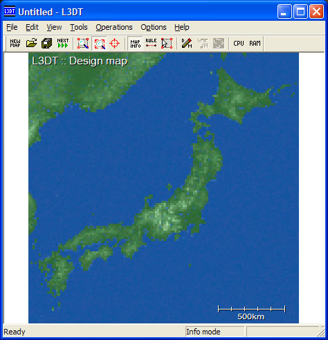
Calculating, please wait...

As I write this I am running a test on L3DT's dynamic caching performance. My poor PC is about two and a half hours into generating a 16,384×16,384 pixel heightfield, with at least another hour of erosion to go. The caching seems to be working properly, with the RAM allocation stable at 65MB and around two gigabytes of heightfield stashed to the HDD. I still have to tweak the cache settings, but I'd say the architecture is now all OK. I will post some benchmarking figures when I've completed a reasonable set of tests.

More last-minute additions include:

  • There is a new 'wizard' dialog for loading/importing/making maps. It looks a whole lot better than the previous arrangements. Screenshots to follow, sometime.
  • The water map can be exported as a heightfield (in HFF, HTF, BT and TER formats).
  • I've improved the volcano overlays, with stronger erosion and revised profiles.
  • The design map can be imported from a file or back-calculated from an existing heightfield (eg Japan and Hawaii).
  • By visualising the progress of calculations I've been able to track down and fix some inefficient raster-orders that were causing unnecessary hard-disk read/write calls during mosaic operations.

Still to do:

  • Fix up L3DTVi2 to handle the new mosaic formats.
  • Finish the 'crater' overlay.
  • Finish the perlin control interface.
  • Fix-up the tutorial pages to include the new interfaces.

Slowly but surely, we are approaching release 2.3.

 
l3dt/2005/apr/19.txt · Last modified: 2017/08/31 06:04 (external edit)
 
Except where otherwise noted, content on this wiki is licensed under the following license:CC Attribution-Share Alike 3.0 Unported
L3DT Development Blog RSS Donate Powered by PHP Valid XHTML 1.0 Valid CSS Driven by DokuWiki