|
Table of Contents
atConvertWaterToHeightPlugin information
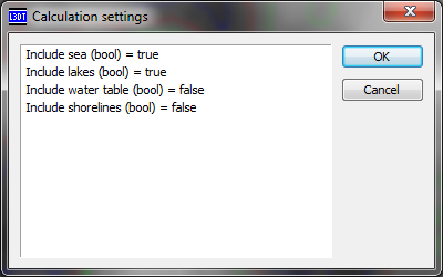
Using atConvertWaterToHeightTo generate a heightmap from the water map elevations, select the 'Extensions→atConvertWaterToHeight→Convert water map to heightmap' menu item. This will open a calculation settings window, shown below, in which you can choose which types of water will be included in the outpout heightmap.
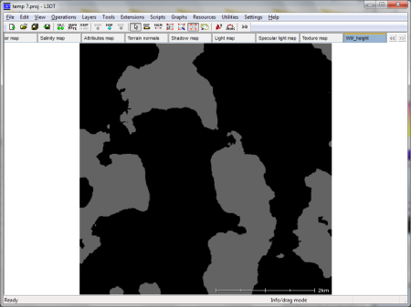
By default, seas and lakes are included, but the watertable (which is underneath the terrain heightfield) is not included, and nor is the 'shoreline' pixels, which are also at or below the terrain heightfield. To enable or disable different water types, double left-click on the items in the window. Once you click OK, L3DT will create a new map layer in your project called 'WM_Height' that will contain the water height values (as shown below). Note that the baseline non-water values are set to a height that is below the lowest point of the heightfield.
Changes2011/03/11 — Updated to v2.9.6.1. 2008/06/11 — Released. Except where otherwise noted, content on this wiki is licensed under the following license:CC Attribution-Share Alike 3.0 Unported
|


