|
Table of Contents
atEdgeBlenderPlugin information
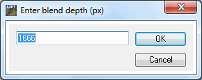
Using atEdgeBlenderWrap X and Y axesThe 'Extensions→atEdgeBlender→Wrap X and Y axis' menu option will blend the east & west borders and the north & south borders so that they can be wrapped around seamlessly, producing infinitely tiling terrain1). After selecting this menu option, you will be asked to enter a blend depth (see below). This value determines how far, in pixels, the blend region extends from the edges of the affected borders. The default value is whichever is the smaller of 1/4th of the map width, 1/4th of the map height, or 256 pixels. Smaller values will produce sharper transitions from one edge to the other.
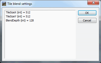
Wrap X axisThe 'Extensions→atEdgeBlender→Wrap X axis' menu option will blend the east & west borders so that they can be wrapped around smoothly. Wrap Y axisThe 'Extensions→atEdgeBlender→Wrap Y axis' menu option will blend the north & south borders so that they can be wrapped around smoothly. Blend tile edgesThe 'Extensions→atEdgeBlender→Blend tile edges' menu option blends the borders of adjacent tiles in a heightmap. This option may be necessary when separate heightmaps have been imported using the merge import option. After selecting this menu option, you will be asked to enter the size of the tiles in X and Y (in pixels), and the blend depth (see below). The blend depth takes the same meaning as with the wrap X and Y axes option described above.
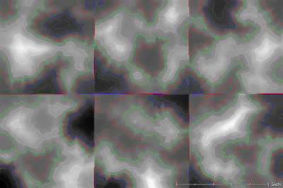
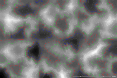
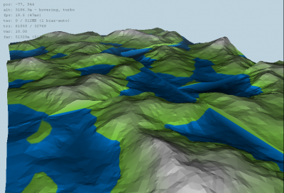
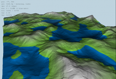
The images below show an example of blending together six random (unrelated) heightmaps to produce a single seamless heightmap:
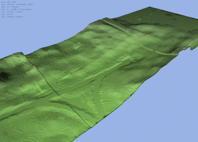
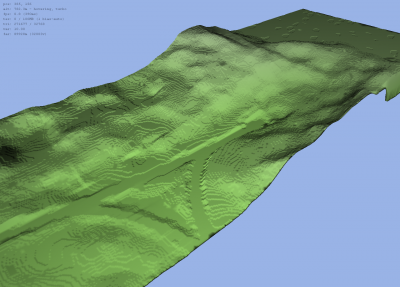
Linear regression of tile scalingUsing 'Extensions→atEdgeBlender→Linear regression of tile scaling' is a modification of the blend tile edges option which, in addition to blending the tile borders, also shifts and scales the altitude axis of each tile to minimise any mismatch between adjascent tiles. This feature may be useful when blending together a set of tiles that were imported from images with different altitude scalings, as demonstrated below:
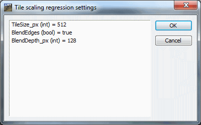
After you select the menu option, you will be asked to enter the tile size (in pixels), whether you want to blend the tile edges (as with the blend tile edges calculation), and if so, what blend depth you wish to use. The settings window is shown below:
Scripting
The calculation of the edge blending is performed by the The majority of the arguments describe the position and direction of two edges, 'a' and 'b'. Both edges may be placed at arbitrary positions and directions in the map, with no requirement that the edges are parallel (i.e. you can wrap the north edge with the west edge, if you like.)
Changes2014/04/14 — Added linear regression of tile scaling function, to re-calculate gain/offset of tiles when vertical scaling is lost in image files. 2013/10/22 — Added fix to allow tile blending to work in X or Y axis only (v13.10.0.0). 2013/03/15 — Page created. 1)
Note that L3DT can create seamlessly tiling terrain using the 'Edge wrapping' checkbox in the new map wizards (e.g. in the 'heightfield size' wizard pane.) These options are intended to wrap existing non-mapping heightmaps, such as those from other programs that do not natively support wrapping.
Except where otherwise noted, content on this wiki is licensed under the following license:CC Attribution-Share Alike 3.0 Unported
|

