|
Table of Contents
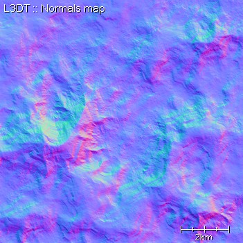
The terrain normals mapThe terrain normals map is a map of vectors perpendicular to the heightfield surface. This map is used only for generating the light map. Example mapHere the three colours (r, g, b) are used to represent the three components of the normal vector (x, y, z). Further reading
Except where otherwise noted, content on this wiki is licensed under the following license:CC Attribution-Share Alike 3.0 Unported
|

