|
Table of Contents
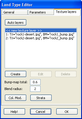
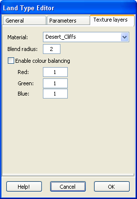
News for November 2007November 22Revision to climate texturingHi All, In the latest release candidate of L3DT Pro (v2.5.2.20), there have been some improvements to the way textures and land types are handled. In particular, this updated introduces the concept of materials. Materials are the new containers for all the 'appearance' settings that were previously stored in each land type, such as bump-maps, textures, colour modifiers, strata layers, etc. All these settings were previously accessible via the 'textures' tab in the land type editor (below left). Now, in the land type editor, you simply pick the material used to texture the land type (below right).
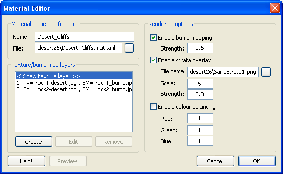
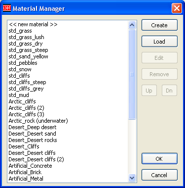
To edit the texturing/bump-map information, we use the new material editor dialog (shown below). I hope you will find to be a more intuitive and streamlined interface than the crowded and complex 'textures' tab in the land type editor used previously.
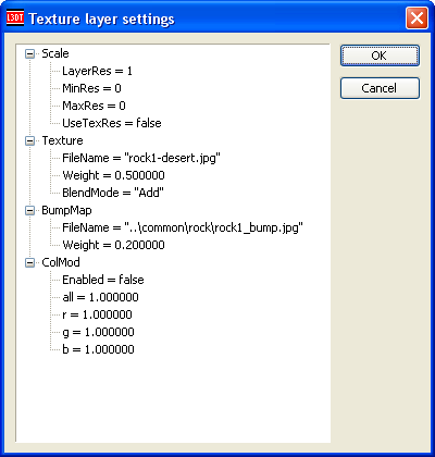
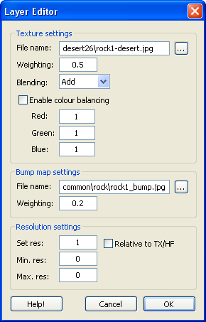
Also, the old user interface for editing texture layers (below left) has been replaced by a new, purpose-built texture layer editor (below right). This also should be much more intuitive for users.
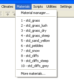
Material menu and managerTo access the material editor we now use the 'Materials' menu and the 'Material Manager' dialog box, just like we do with climates (see below).
To bypass the material manager and jump directly to editing a material, select the material by name from the 'materials' menu.
Key advantagesThe key advantages of the new material system are:
Further improvementsThis is not the final implementation of the material editor or climate/material system, and several improvements are planned for the next release (L3DT v2.6). These include:
Visible difference?The new material system will not affect the appearance of the textures or light maps generated by L3DT. This change is all about making the texturing system more efficient, including a more efficient user interface, and a more memory-efficient texture management system. Backwards compatibilityI've been very careful to ensure that backwards compatibility with climates from L3DT v2.4 and onwards has been maintained. When loading '.cli.xml' climate files produced in L3DT 2.4 or later, the new climate loader will automatically generate the material definitions, and convert the climate to the material-based system. However, the old-style '.cli' climates from L3DT 2.3 and earlier are no longer supported. These files were declared deprecated and marked for removal with L3DT release 2.4, back in June of 2006. If you have any old-style '.cli' climates that you'd like to migrate to the new '.cli.xml' format, you have one last chance to do so: Load the climate file in L3DT release 2.5b to convert it to a new '.cli.xml' file. Just to reiterate, L3DT v2.6 will not load '.cli' files anymore. Help and documentationYou'll note that the material and layer editors, I've added 'Help!' buttons to the lower-right corners. These buttons will open a web browser and go to the relevant pages in the user guide…once they've actually been written. FeedbackIf you would like to comment on the changes, please do so in this forum thread. Cheerio, Aaron. November 7L3DT release 2.5bHi Everyone, I'm delighted to announce that L3DT release 2.5b is now available for download. This is a free upgrade for absolutely everyone. Users of L3DT Standard Edition can download the update from here, and users of the Professional and Pro for Torque editions should consult their sales/registration e-mails for the appropriate download links. The many and varied improvements in L3DT 2.5b are listed in the change log and explained below.
The 'L3DT for Torque' update has been delayed in QA, and will be released ASAP.
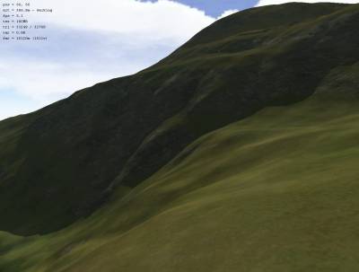
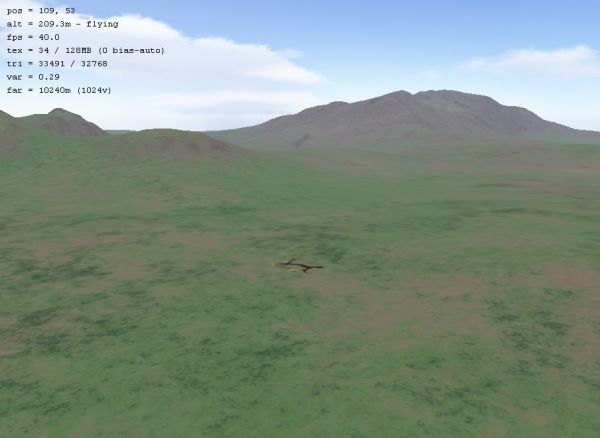
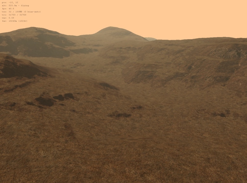
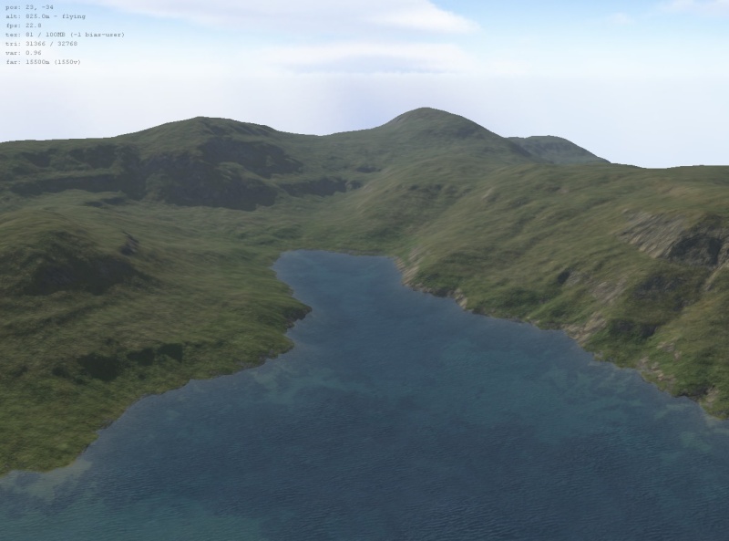
Sapphire 3D rendererThere have been numerous improvements to the Sapphire 3D renderer/editor. Firstly, there are three new terrain brushes: Also, the texture management system has been improved to allow support for megatextures. Here are a few screenshots of Sapphire rendering a 32k×32k texture on a 1k×1k heightmap:
The texture limit for Sapphire is the same as for L3DT; 2k×2k for L3DT Standard, and 2M×2M for L3DT Professional. However, when using high texture resolutions (16x or larger), there are a few tips to be followed. Other changes to Sapphire include:
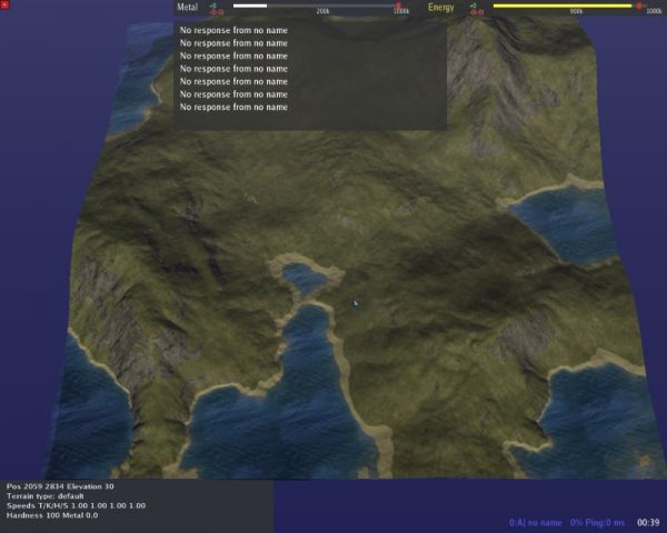
Since Sapphire now does everything that L3DTVi2 did (and more), the old renderer has been removed from the installation package. L3DTVi2 is dead! Long live Sapphire! Spring support (L3DT Pro)L3DT Professional now includes plugins for both importing and exporting SMF and SMT map files for Spring (see guide here). Here are two example maps, firstly showing an L3DT map exported to Spring (left), and secondly showing a Spring map imported into L3DT (right):
There are a few differences between using this plugin and using MapConv:
However, the Spring plugins are still a work in progress. They do not support vegetation maps, nor feature placement (other than metal patches), and the whole UI is a bit clunky. Work is ongoing. File input and outputL3DT v2.5b adds support for some popular formats, including:
Also, I've added to L3DT Professional the ability to read and write ultra-large single TER, BT, HFF and HFZ terrain files, which can be up to to 131,072×131,072 pixels in size. That amounts to 64 gigabytes in memory per map, but since it's all done behind the scenes using disk-paged mosaic maps, L3DT will only need about 64 megabytes of RAM to import or export each map file. The same system is also used to export (but not import) ultra-large single files in most other supported formats, excluding the common image formats. Also, L3DT Professional will now load and display large mosaic maps much faster than before thanks to some improvements in the storage and persistence of mipmaps (see weblog for June 12). This applies only to map projects saved by L3DT 2.5b, so it will not accelerate the loading/display of maps from L3DT v2.5a or older until you load and re-save them in L3DT v2.5b. Backup/restoreThere is a new plugin to backup and restore maps in L3DT, which represents the start of the effort to add 'undo' to L3DT. At the moment, you have to perform the backup and restore manually, using these handy toolbar buttons: …or you can use the 'Edit→Backup active map' and 'Edit→Restore to last backup' menu options. These functions are also available in Sapphire's menu too. Compressed heightfield filesThe default file format for heightfields in L3DT has been changed from the old uncompressed 16-bit precision HFF file to the new variable-compression/precision HFZ format. Typically, HFZ will use about ~30% less space than HFF/BT/TER files, but the savings may be greater depending on the contents of the map and the desired height precision. Also, HFZ supports extensible header metadata such as georeferencing extents, which makes it a nice format for data-exchange between terrain applications. Indeed, that's why the format was invented (read all about its origins on TMS). New and updated climatesI previewed the new climates earlier in the week, but here is the eye-candy again for those who missed it: Custom map layersL3DT now allows you to import custom map layers into your map project using the 'File→Import→Custom map layer' menu option (user guide). Similarly, you can create new blank custom map layers using the 'Utilities→New map layer' menu option (user guide). I'm sure that ingenious users will find many purposes for these new features, especially in combination with Python scripting (thanks Carl!). Other stuffAs always, there have been numerous other UI tweaks, bug fixes, and additions to the plugin API (now at Zeolite version 2.5.2). There are also some experimental/unofficial plugins available for separate download, including:
If you'd like to try your hand at writing a plugin, please have a read of the making a plugin tutorial. DocumentationAs always, a walk-through guide is provide within the L3DT executable itself to help new users to become acquainted with map building in L3DT. Complete documentation is available on-line in BundyDocs, the official Bundysoft documentation repository. Specific usage tutorials - such as “How to use L3DT with [X]” - are also available in the users' tutorials wiki. Finally, a small number of pages are available in off-line PDF form, including the table of L3DT keyboard shortcuts, Sapphire controls, and several tutorials. More off-line documentation will be provided as time allows. Plans for the next releaseWith this release, I've completed everything I wanted to do in the L3DT 2.5X series. Thus, the next release of L3DT will move along a version number, to 2.6. The current dev plan for v2.6 is very long indeed, but my expectation is that we'll be seeing some or all of the following changes:
Disclaimer: As always, I will reserve the right to add and remove items from this development plan without notice. It is provided only as a guide to what I would like to achieve with the next release, and not as a promise of features that will be delivered.
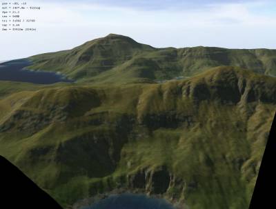
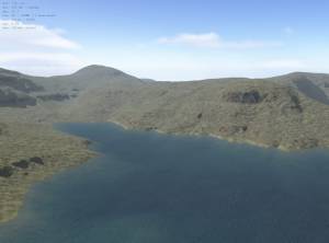
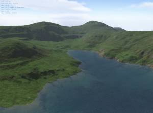
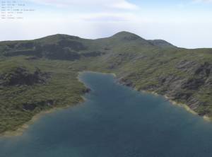
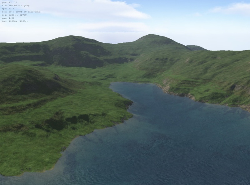
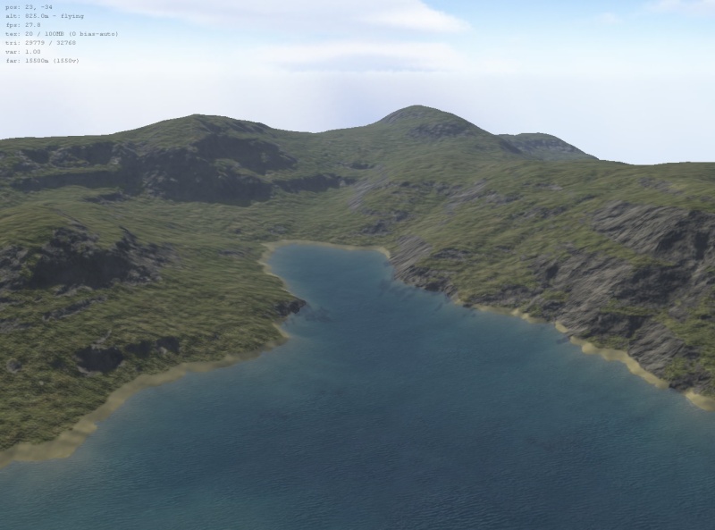
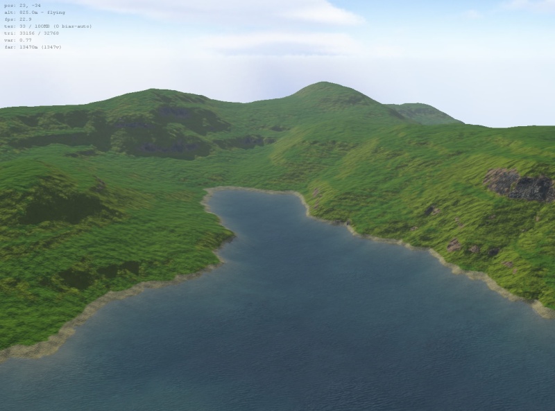
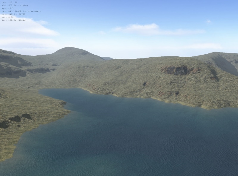
FeedbackIf you'd like to comment on this release, or on the development plan for v2.6, please do so in this forum thread. November 4New and updated climatesHi Everyone, L3DT release 2.5b will add a few new climates and change a few old ones. New climates include 'tropical', 'demo-grass-rock-sand', 'Spring-Greenworld', 'Spring-Desertworld' and 'Spring-Mars'. The last three climates were kindly donated by Spring/L3DT mapper extraordinaire Forboding Angel. Below you will find a few screenshots and brief descriptions of said climates: The 'tropical' climate is largely similar to the 'temperate' but uses more greenish textures:
The 'Demo-grass-rock-sand' climate is a really stripped-down climate, which is intended to help new users get used to editing and making climates. It contains just three land types, and looks like this:
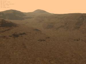
The 'Spring-Greenworld', 'Spring-Desertworld' and 'Spring-Mars' climate was created by Forboding Angel for use with the open-source RTS game Spring. These climates have strong bump-mapping settings, which are well-suited to Spring's mainly top-down viewing angle and high sun angle. Also, since water in Spring is at a single, fixed level across the whole map, these climates use altitude ranges to define land types such as beach sand, rather than the water-dependent coefficients that are normally used (e.g. in the 'temperate' climate). This makes the attributes map calculation faster, but means the climates should not be used with multiple water levels (e.g. auto lakes).
I've also enabled bump-mapping for the 'grass' land types in the temperate climates. This adds to the visual detail of the terrain, particularly when using very high-resolution textures (8x or more).
Well, that's all for today. More news tomorrow. Cheerio, Aaron. 1)
Material preview was added in release v2.5c, 31st of March 2008
Except where otherwise noted, content on this wiki is licensed under the following license:CC Attribution-Share Alike 3.0 Unported
|

